
(click on map for larger view)
Click here for a printable copy of the most recent DNR/DF&W map of the Teanaway Community Forest (This is a high-resolution 15 Mb file suitable for printing at up to 2′ by 3′.)
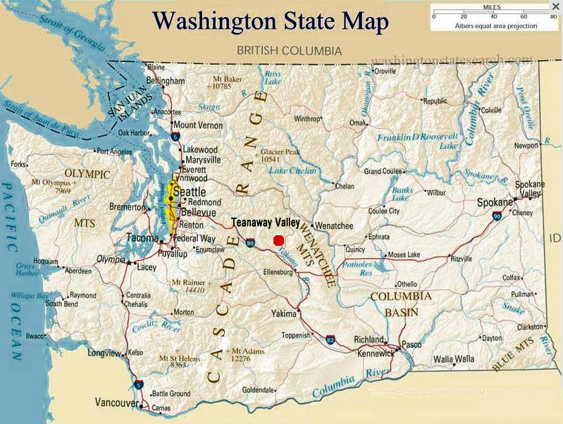
Click on the links below to see other maps of the Teanaway Valley.
TCF Summer Rec. concepts, draft version
TCF Winter Rec. concepts, draft Version
Recent land use suitability mapping done as part of the TCF planning process.
The following maps were prepared by Sasaki and Associates for Kittitas County as part of the Teanaway Sub-area planning process which was discontinued in 2011.
Recreational Trails
Fish and Wildlife Habitat
Trails, Trailheads and Important Recreational Features
Areas of High Ecological Value